Abstract's details
Daily monitoring of the Kuroshio over the Izu Ridge using ferry-onboard GNSS
Event: 2023 Ocean Surface Topography Science Team Meeting
Session: Science II: Large Scale Ocean Circulation Variability and Change
Presentation type: Poster
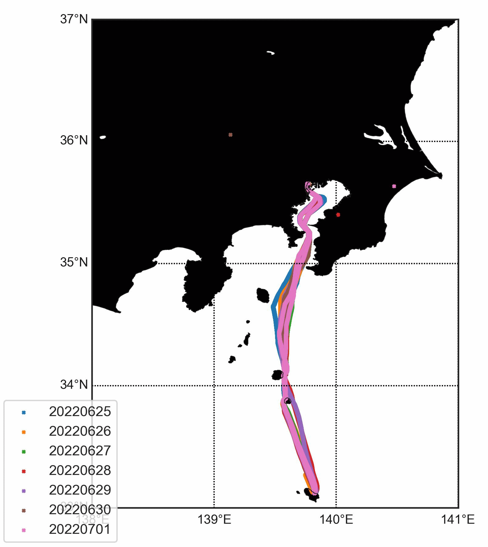
The Kuroshio, the western boundary current of the North Pacific, has stably taken a large meandering path south of Japan since August 2017. Together with variations of the Sverdrup transport and mesoscale eddy activities, the significant bottom topography of Izu-Ogasawara Ridge would be one of the key factors of formation and deformation of large meanders. However, sea surface height (SSH) observations over Izu Ridge are not frequent because of the absence of dense altimeter satellite tracks. Therefore, since 2022 June, we have deployed the Global Navigation Satellite System (GNSS) receivers on the ferryboat “Tachibana Maru” (Tokai Kisen, 5681t) that crosses the Kuroshio over Izu Ridge twice a day. The SSH determined from the on-board GNSS data alone (single point positioning or precise point positing) is not accurate enough, but post processed kinematic (PPK) positioning referring to fixed land GNSS stations operated by the Geospatial Information Authority of Japan provides reasonable accuracy. Both variable ship routes and ship motions by waves cause errors in dynamic height estimations, but removal of the EGM08 geoid and temporal averaging along ship routes can reduce these errors. Meanders of the Kuroshio over Izu Ridge have caused along-route SSH variations of several tends of centimetres, and they were found detectable by ferry-onboard GNSS observations, although better tides and geoid models are required to increase their accuracy.
Contribution: SC22023-Daily_monitoring_of_the_Kuroshio_over_the_Izu_Ridge_using_ferry-onboard_GNSS.pdf (pdf, 15125 ko)
Back to the list of abstract