Abstract's details
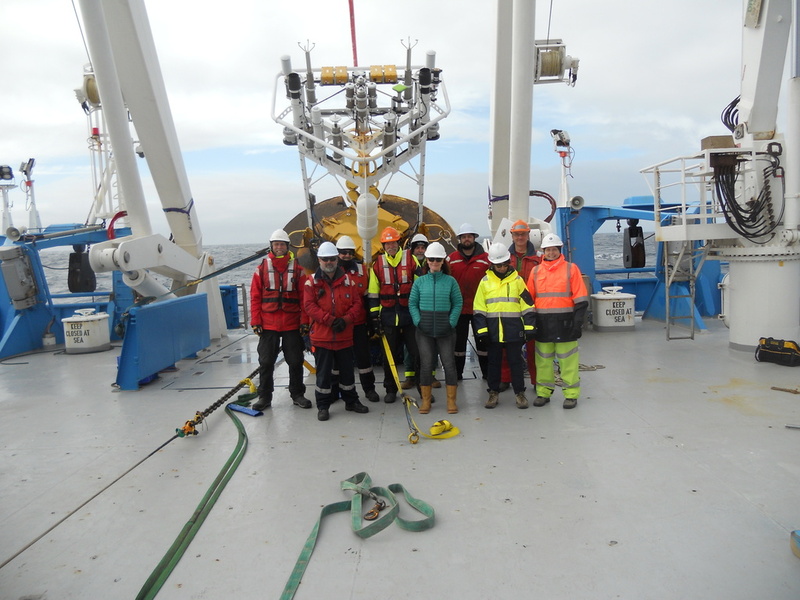
Preliminary results from GNSS processing at the Southern Ocean SOFS site in preparation for SWOT validation
Event: 2022 Ocean Surface Topography Science Team Meeting
Session: Regional and Global CAL/VAL for Assembling a Climate Data Record
Presentation type: Forum only
The SWOT satellite altimetry mission represents a paradigm shift from conventional pulse limited altimetry to swath-based measurements. Validation of this new measurement type will be a significant challenge that will require a diverse range of approaches as well geographic spread in site locations (as provided by the 'Adopt-a-Crossover' initiative). Data from the Southern Ocean Flux Station (SOFS) mooring will contribute to this effort, offering in situ sea surface height (SSH) derived geometrically (via Global Navigation Satellite System, GNSS, data) in addition to integrated from sub-surface oceanographic instruments (temperature and salinity through the column). These data will provide a comparison point of interest in a highly dynamic region of the Southern Ocean where the mean significant wave height is ~4 m, and waves are regularly in excess of 10 m.
In this poster, we present preliminary results from GNSS processing of data from the SOFS mooring during periods of differing sea states. We detail the GNSS Precise Point Positioning (PPP) processing approach and investigate the precision and likely biases of the in-situ measurements in comparison with existing altimetry observations. Finally, we discuss the further work required in preparation for the validation of the SWOT mission.
Back to the list of abstractIn this poster, we present preliminary results from GNSS processing of data from the SOFS mooring during periods of differing sea states. We detail the GNSS Precise Point Positioning (PPP) processing approach and investigate the precision and likely biases of the in-situ measurements in comparison with existing altimetry observations. Finally, we discuss the further work required in preparation for the validation of the SWOT mission.