Abstract's details
Water-Watch: a New Phase of the Operational Monitoring of Lakes, Wetlands, and River Reaches for Natural Hazards and Regional Security
Event: 2019 Ocean Surface Topography Science Team Meeting
Session: Application development for Operations
Presentation type: Oral
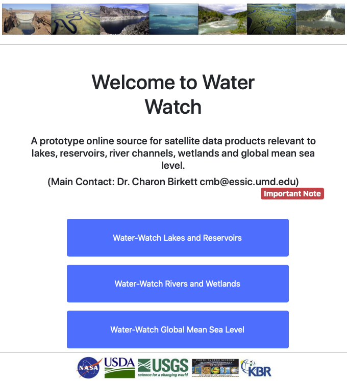
Water-Watch is a new NASA/USDA funded operational program offering water-related products for lakes, reservoirs, river reaches, and wetland zones. These will be derived from the i) NASA/CNES and ESA/ISRO/CNES series of radar altimeters, ii) the Landsat/MODIS series of multispectral imagers, and iii) the SRTM, ASTER, and ICESat-2 DEM’s. The products will be a combination of water level, surface extent, water storage, and bathymetry. The main stakeholders are the USDA/Foreign Agricultural Service, various Wetland-related organizations, and USACE/NGA.
There is an increasing demand for a global monitoring service that in particular captures the variations in the smallest (1 to 100 km2) reservoirs and water holdings in arid and semi-arid regions. Here, water resources are critical to both agriculture and regional security. There is also a demand for surface water level products across wetland zones in respect of inland fisheries and assessments of catch potential. Observations of river reaches in gauge-poor regions has also been requested in lieu of spring melts and flood hazards.
In addition to meeting operational requirements, recent efforts to create (up to) 25yr timelines has also shown that great care needs to be taken with respect to the merger of results from multiple instrument platforms. This is in regards to the formation of high quality Earth Data Records or for the creation of Long-Term Status Indicators which inform end users of deviations from normal conditions.
The additional application of hydrological modelling and the recording and monitoring of hypsometry is also being added to the program. Although not as efficient as (say) direct water level observation, preliminary studies have shown that these alternate methods offer a secondary “inferred” water level product that can be used to highlight seasonal and inter-annual variability to determine trends and inter-decadal changes.
Contribution: APOP_02_OST2019.Birkett.pdf (pdf, 2068 ko)
Back to the list of abstract