Abstract's details
The commissioning of the Sentinel-3A altimeter at EUMETSAT
Event: 2016 Ocean Surface Topography Science Team Meeting
Session: Regional and Global CAL/VAL for Assembling a Climate Data Record
Presentation type: Poster
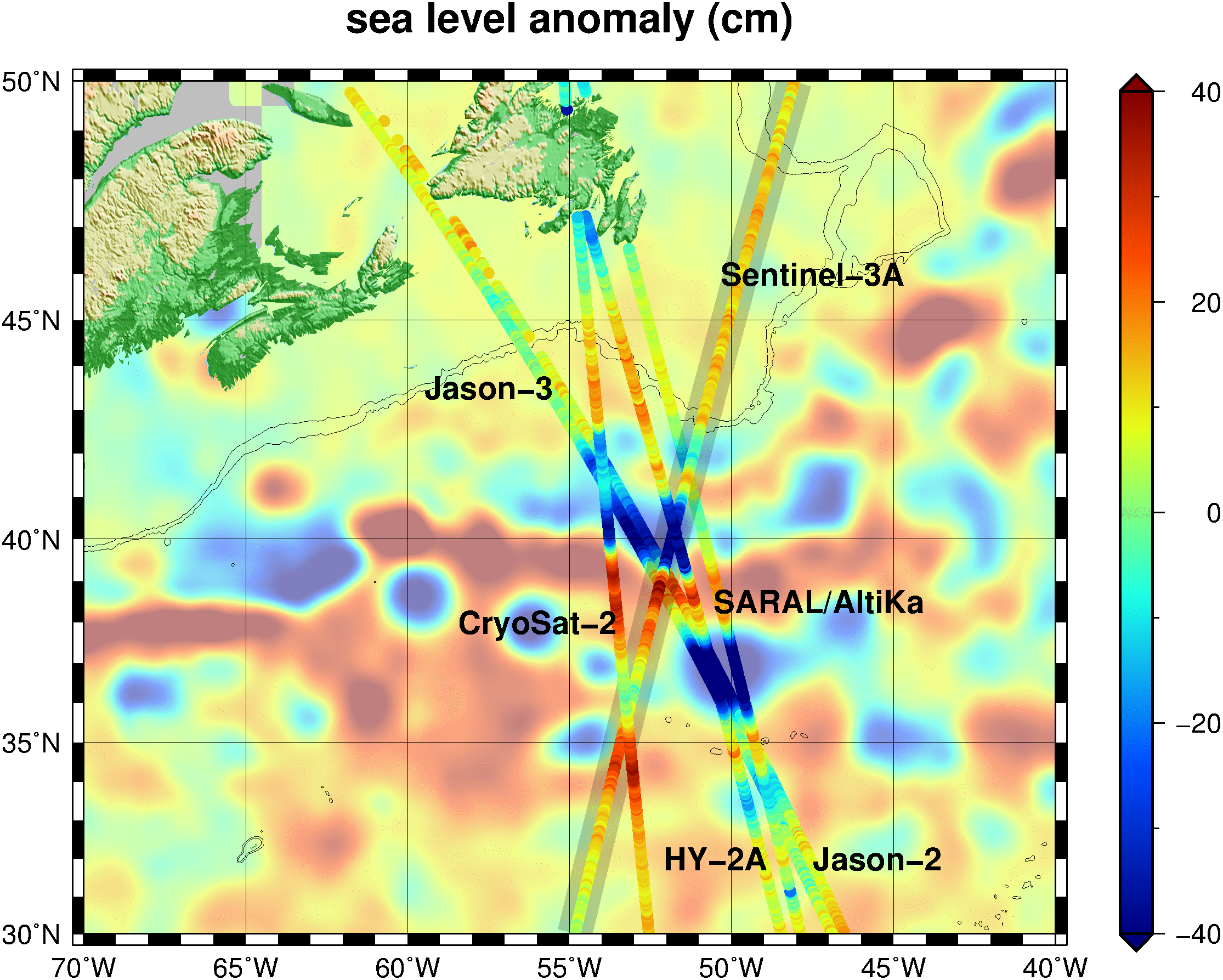
After the launch of Sentinel-3A in February 2016, its altimeter (SRAL) was starting to provide sea level measurements on 1 March. Since then, the commissioning of the instrument and the ground segment has been an extensive activity at ESA and EUMETSAT. This presentation will focus on those activities conducted at EUMETSAT to monitor the product quality and latency, as well as the calibration and validation of the measurements.
The EUMETSAT PDGS ground segment first started producing SRAL data operationally on 23 June and releasing data to the S3VT on 12 July. After that several updates were made to the processing software that have impacts on the data quality. In this presentation we will use the following techniques to demonstrate the data quality and their evolution:
- Global maps and histograms for the retrieved sea level anomaly, significant wave height and wind speed;
- Global maps and histograms of the various components that are involved in building the sea level anomaly;
- Comparisons of the retrievals in LRM and SAR mode, as well as PLRM processing;
- Time series of the above to monitor stability;
- Single- and multi-satellite crossover analyses.
One important element in this is the analysis of the difference between LRM and SAR altimetry as retrieved during the period in which SRAL was operated alternatively in SAR and LRM mode on ascending and descending tracks.

Back to the list of abstractThe EUMETSAT PDGS ground segment first started producing SRAL data operationally on 23 June and releasing data to the S3VT on 12 July. After that several updates were made to the processing software that have impacts on the data quality. In this presentation we will use the following techniques to demonstrate the data quality and their evolution:
- Global maps and histograms for the retrieved sea level anomaly, significant wave height and wind speed;
- Global maps and histograms of the various components that are involved in building the sea level anomaly;
- Comparisons of the retrievals in LRM and SAR mode, as well as PLRM processing;
- Time series of the above to monitor stability;
- Single- and multi-satellite crossover analyses.
One important element in this is the analysis of the difference between LRM and SAR altimetry as retrieved during the period in which SRAL was operated alternatively in SAR and LRM mode on ascending and descending tracks.