Abstract's details
Measuring the lake evolution in the Qinghai-Tibet plateau with radar altimeters
Event: 2014 SARAL/AltiKa workshop
Session: Inland Waters (contributions involving specifically SARAL/AltiKa)
Presentation type: Oral
The lake-level change is one of the important indicators for the water balance of the Qinghai-Tibetan Plateau (QTP). In this region lake level is directly affected by
the temperature both upstream and in the surroundings. In addition, other factors like: precipitation, evaporation, glaciers, perennial snow cover and permafrost do have an impact as well.
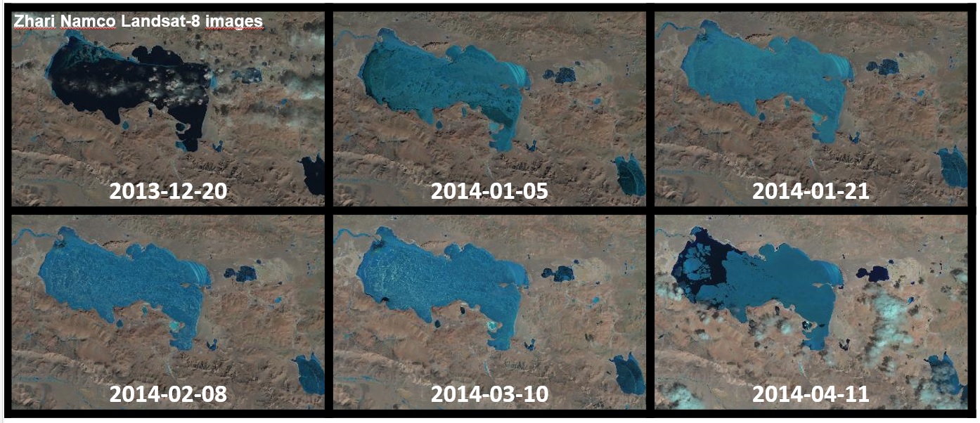
This poster presents the comparison of the lake level evolutions measured with current altimeters since 2010, (AltiKa, CryoSat 2, HaiYang 2A and Jason-2) and the followed methodology to process and cross calibrate the data. A description of the improvements achieved with the incorporation of the new high resolution altimeters, the Chinese first altimeter and the Ka band altimeter will also be incorporated.
The Qinghai and the Zhari Namco lakes have been selected in order to validate the methodology independently for each radar altimeter and later retrieve the time series for the rest of the Plateau lakes.
This works is an ongoing study performed within the ESA-MOST Dragon-3 Cooperation Programme.
Contribution: isardSAT_ATK_workshop_inland_waters_20141026.pdf (pdf, 4532 ko)
Back to the list of abstract